About:
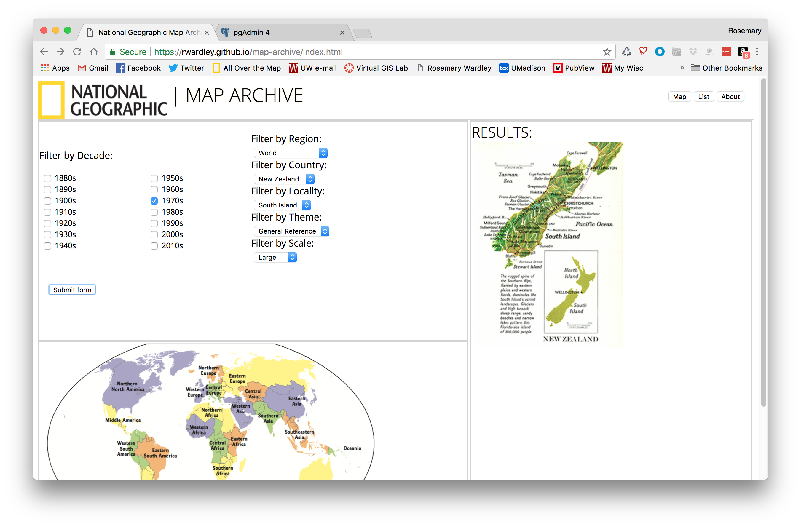
The National Geographic Map Archive web viewer was the capstone project for my Masters in Cartography and GIS program. The purpose of this project was to create an interactive, browser-based search interface to replace the existing Map Archive structure.
Process:
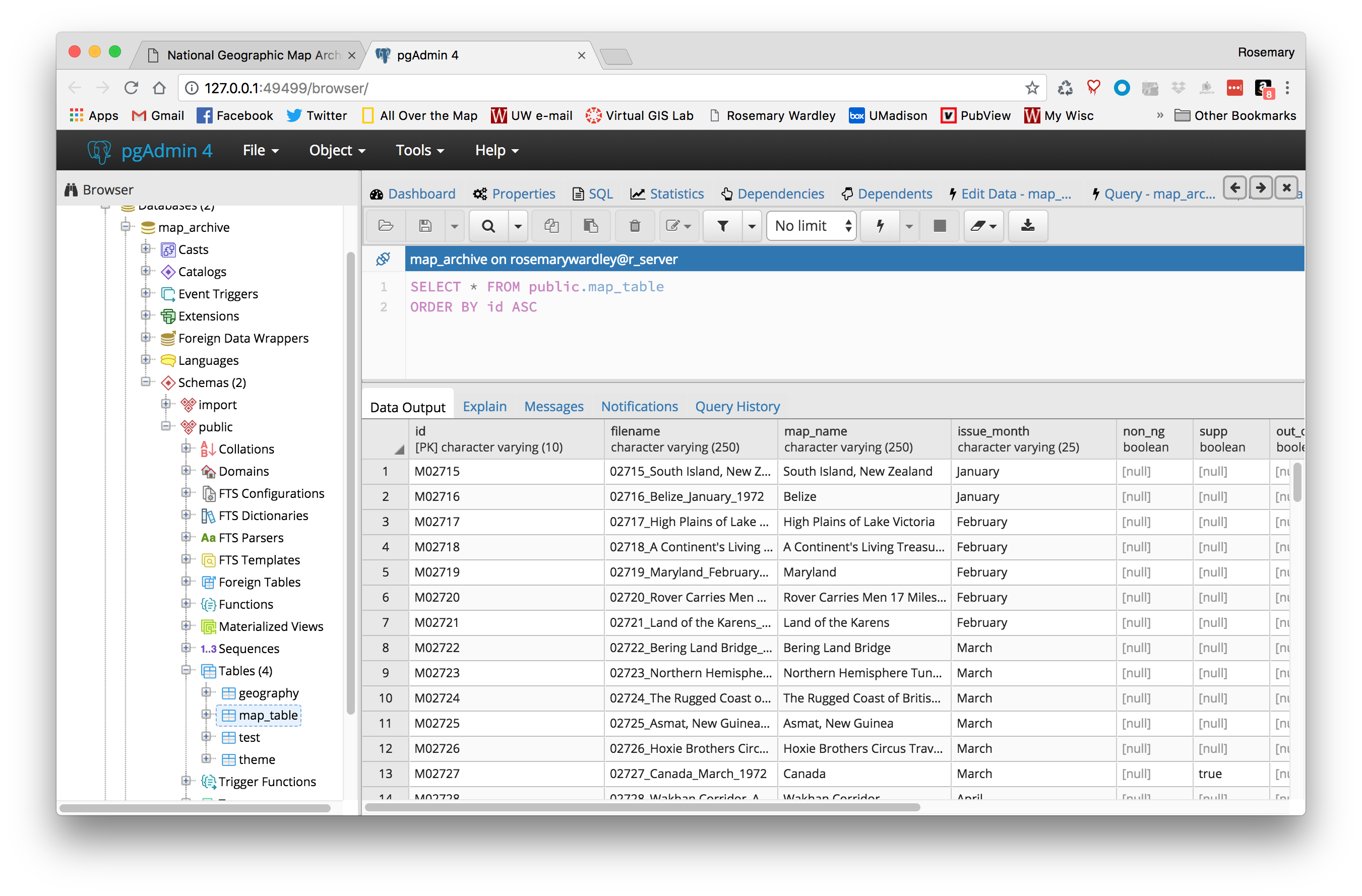
Due to the short timeline for the project, the biggest challenge was managing expectations of what could be accomplished in this timeframe and what would be most beneficial to future development. The first task was conducting a needs assessment with my colleagues and wire framing an initial website design based on their feedback. Secondly, in order to allow filtering and search of the Map Archive we needed to transfer the existing metadata from the large, redundant Excel spreadsheet into a relational database. The database was built using PostgreSQL due to its ease in handling spatial data. Even though there aren’t any explicit geographic fields in the existing data structure I wanted to be sure to provide space for this in the future, if needed. Finally, once the database was created, we built a connection to the client to allow server-side scripting via Node.js and the Express server framework.
Outcome:
After a six week development sprint, I am proud to have created a functioning PostgreSQL database, a front-end/back-end connection via a simple API, and a working prototype to speak to. From conceptualization to finished, beta product this project has undergone many iterations and refinements, and I’m sure will continue to do so as we grow the project at National Geographic.